 English (UK)
 English (US)
 Deutsch
 Français
 Italiano
 Español
 Português
 Nederlands
 Dansk
 Norsk
 Svenska
 Suomi
 Eesti
 Latviešu
 Lietuvių
 Polski
 Čeština
 Slovenčina
 Magyar
 Slovenščina
 Hrvatski
 Srpski
 Română
 Български
 Ελληνικά
 Türkçe
 Українська
 中文
 हिन्दी
 Русский
Tap the map and know where you stand
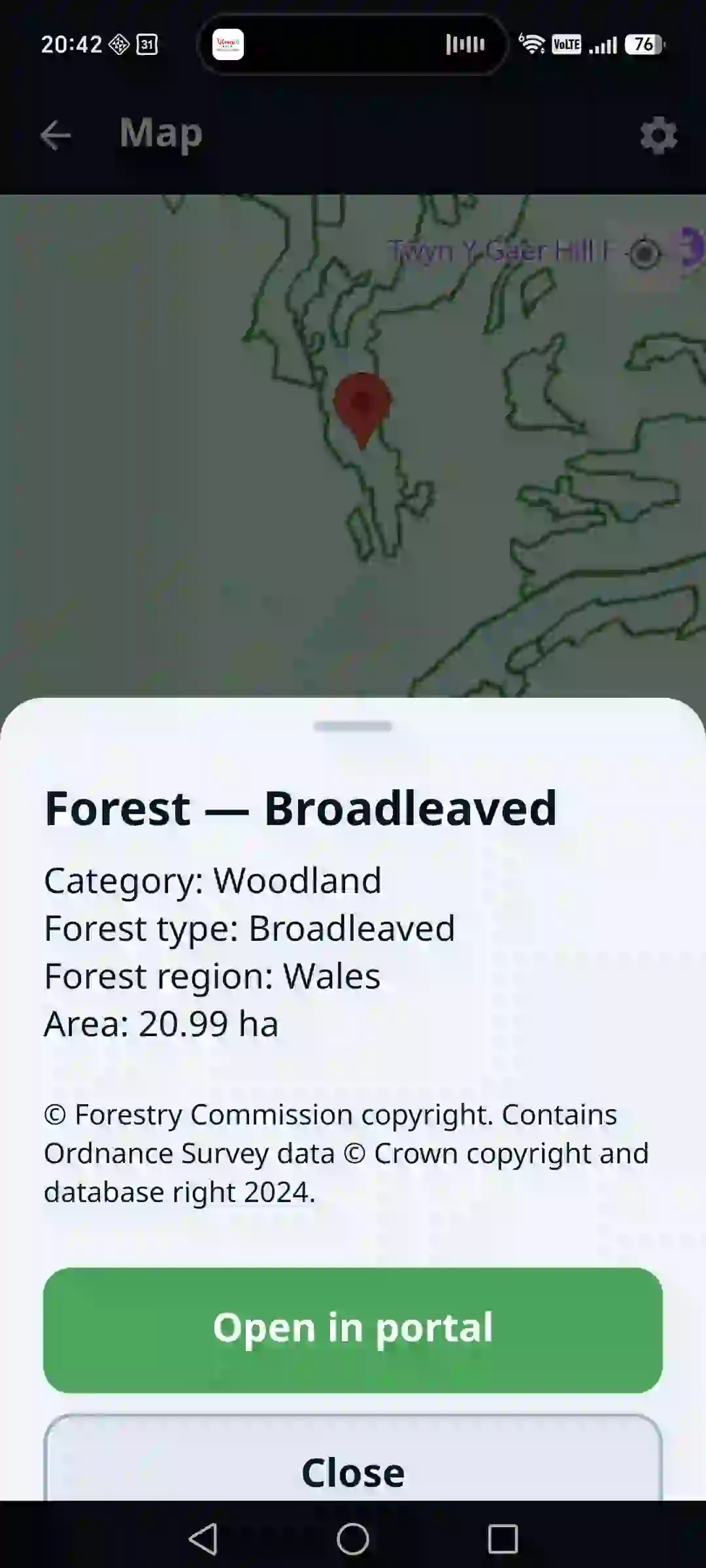
The forest atlas shows the parcel, the stand and the boundaries right where you are. The map opens at your location and answers anywhere in the world.
What the map tells you
The data available differs by country — depending on what state institutions publish.
The map opens at your location; tap to see which parcel you are on.
See property boundaries right on the map.
Depending on the country: species, age, growing stock, forest type, vegetation zone, management unit, site class or forest function.
Where the country allows it, open the parcel details in the official portal.
Owner names are never shown — only the category: state, private or municipal.
Countries and data are added continuously, without updating the app.
Map and cadastral data come from state institutions. The parcel boundaries shown are for information only and do not replace the binding data of the land registry.
Frequently asked questions
What does the Forest Atlas show?
Map layers of forests, stands and parcels from public state sources. You see where you are and what forest data exist for that place.
Which countries does the atlas cover?
The map answers anywhere in the world. It returns the cadastral parcel number in 24 countries; other data, such as species or stand age, depend on what state institutions publish.
Does the atlas help with EUDR?
Yes. The location of the plot of origin is mandatory under EUDR, and the atlas helps you find it and attach it to a record.